
In 1645, New France represented France's ambitious but sparsely populated colonial enterprise in North America, encompassing vast territorial claims with minimal actual settlement and administrative control.
New France theoretically claimed enormous territories, including the St. Lawrence River valley, Acadia (Maritime provinces), and expanding claims toward the Great Lakes through exploration and fur trading. However, effective French control remained concentrated along the St. Lawrence corridor between Quebec City and Montreal, with scattered outposts extending westward.
The Company of One Hundred Associates (Compagnie de la Nouvelle-France) administered New France under a royal charter granted in 1627. This commercial company held monopoly rights over the fur trade and governmental authority, though it struggled financially and administratively. The Governor of New France, appointed by the crown, served as the chief executive officer, while local commanders governed individual settlements.
Quebec City, founded in 1608, served as the colonial capital and primary administrative center, housing the governor, religious authorities, and commercial headquarters. Montreal, established in 1642 as Ville-Marie, represented the western frontier of French settlement. Three Rivers (Trois-Rivières) provided an intermediate trading post. The total French population remained below 3,000 colonists, concentrated in these three primary settlements.
Acadia encompassed present-day Nova Scotia, New Brunswick, and Prince Edward Island, with Port-Royal serving as the administrative center. This region operated semi-independently from Quebec, with its own governor and distinct settlement patterns focused on agriculture and fishing.
French territorial claims depended heavily on alliances with Native American nations, particularly the Huron Confederacy and Algonquin tribes. French coureurs de bois (wood runners) and Jesuit missionaries extended French influence far beyond actual settlements, creating a network of trading relationships and religious missions that theoretically expanded French territorial control.
The fur trade provided the economic backbone of New France, with beaver pelts serving as the primary export driving territorial expansion westward along river systems toward unexplored Great Lakes regions.


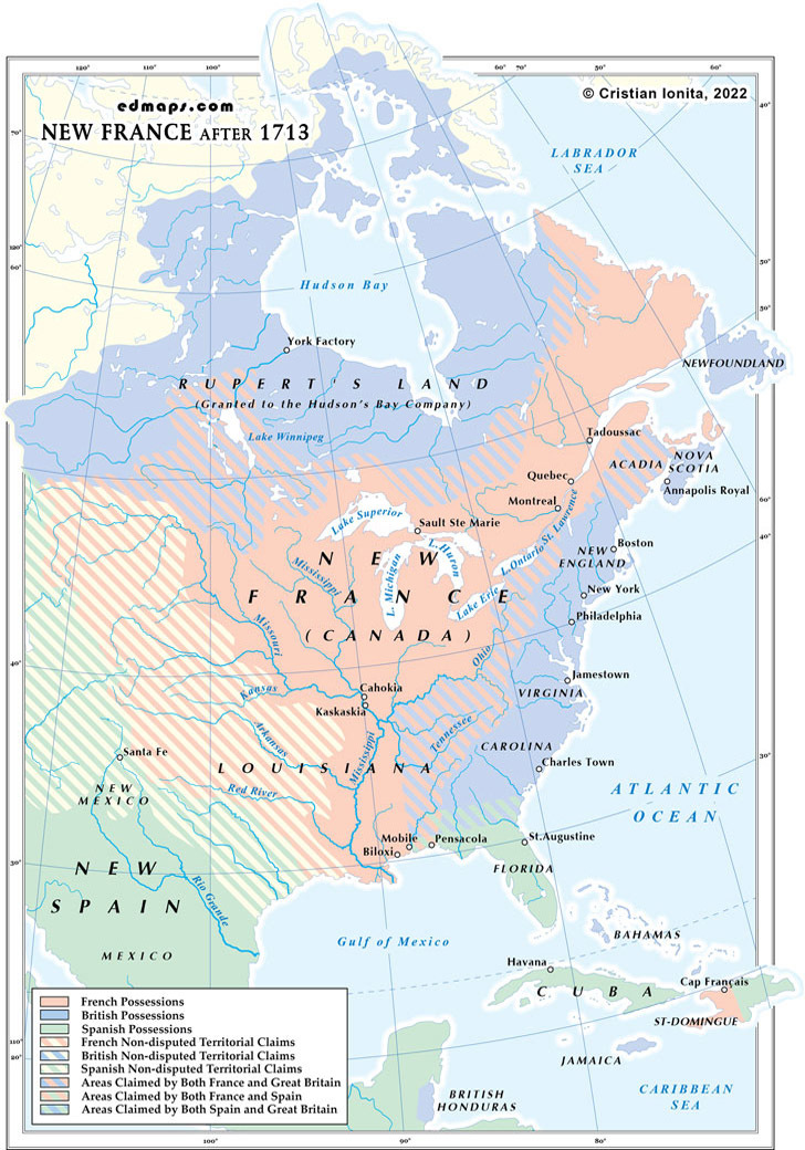
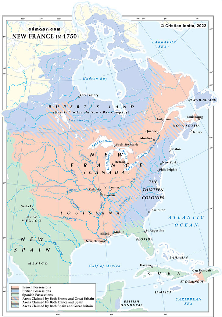
Sources, Methodology & Educational Use: The maps presented on this page are original creations produced for edmaps.com by Dr. Cristian Ionita. Each map is based on verified historical data relating to the territorial evolution, administrative structures, and political history of Canada. The maps are designed according to established practices in historical cartography, including source analysis, period contextualization, and visual clarity. The collection is curated to support teaching, learning, and public understanding of Canadian history, and is intended for educational and non‑commercial use.
edmaps.com — Historical Cartography for Education
edmaps.com provides original maps and curated historical maps designed to support teaching, learning, and public understanding of territorial evolution and administrative history. The original maps are created by Cristian Ionita, and all curated maps are selected from public archives, historical collections, and private holdings, and are presented for educational and non‑commercial use.
© Cristian Ionita. All rights reserved.
Website: https://edmaps.com — Contact: info@edmaps.com
